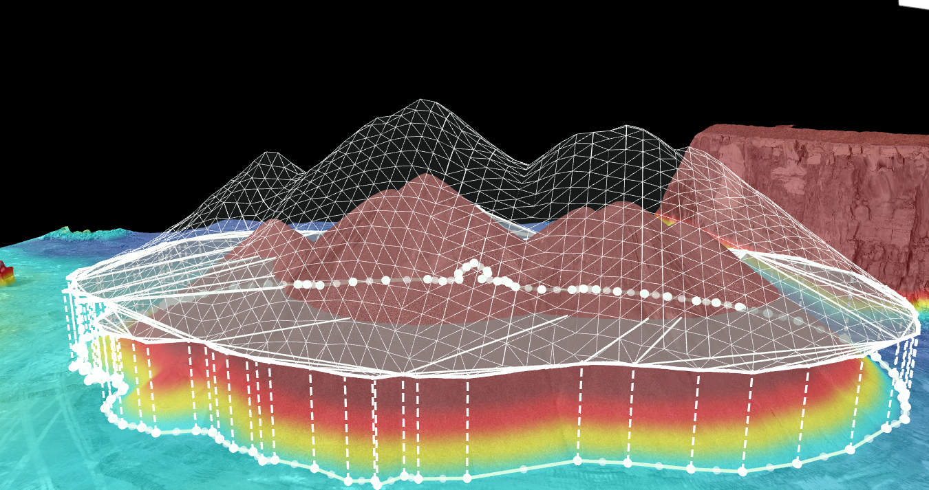
Advanced 3D Data Analysis
The ability to generate high-resolution 3D models allows for precise measurements and in-depth analysis of topographical features, buildings, or infrastructure. This leads to more informed decision-making in various industries, from urban planning to construction.
Additionally, the efficiency of drone surveys reduces time and costs compared to traditional methods, making 3D drone reconstructions a valuable asset for projects requiring timely data collection and comprehensive insights. Partner with us for professional advanced technical solutions that elevate your mapping and surveying needs.


